The missing link
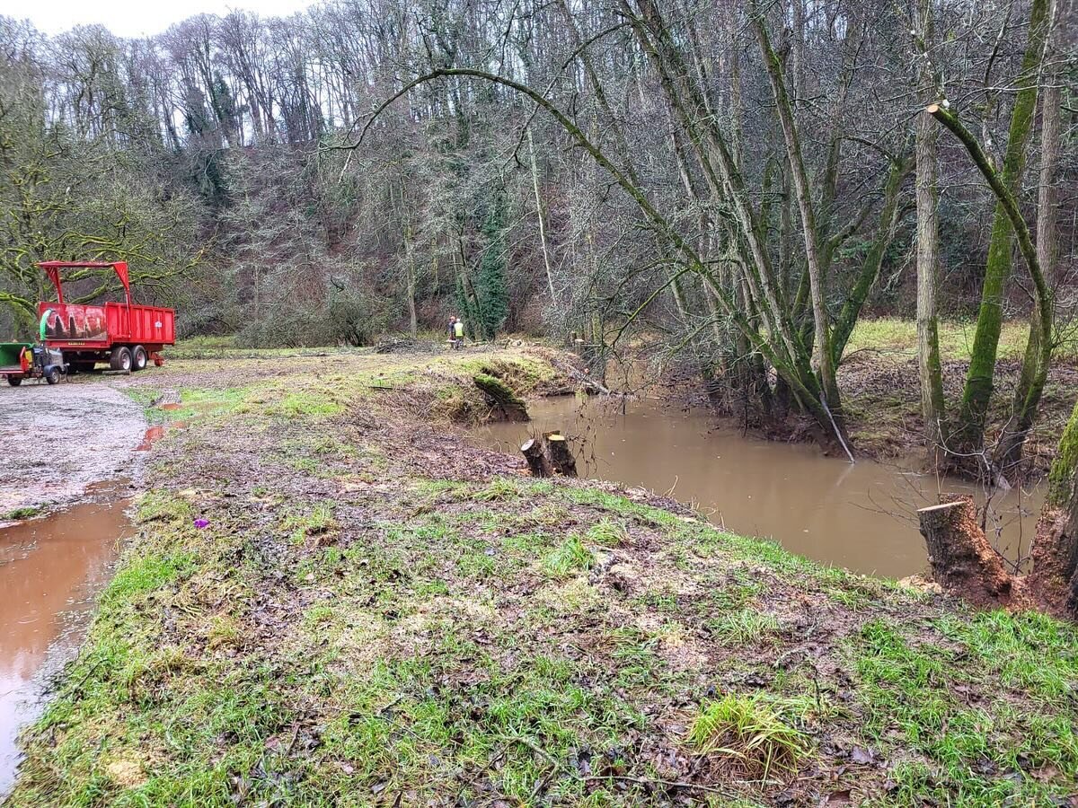
/Last summer Steve and I explored the top end of the Upleadon beat to see what the access was like. Many of you who fish the Upleadon stretch will probably never have made it to the top end. Its a long walk from the old Mill and we thought it might be useful to share some details of how to gain access at the other end.
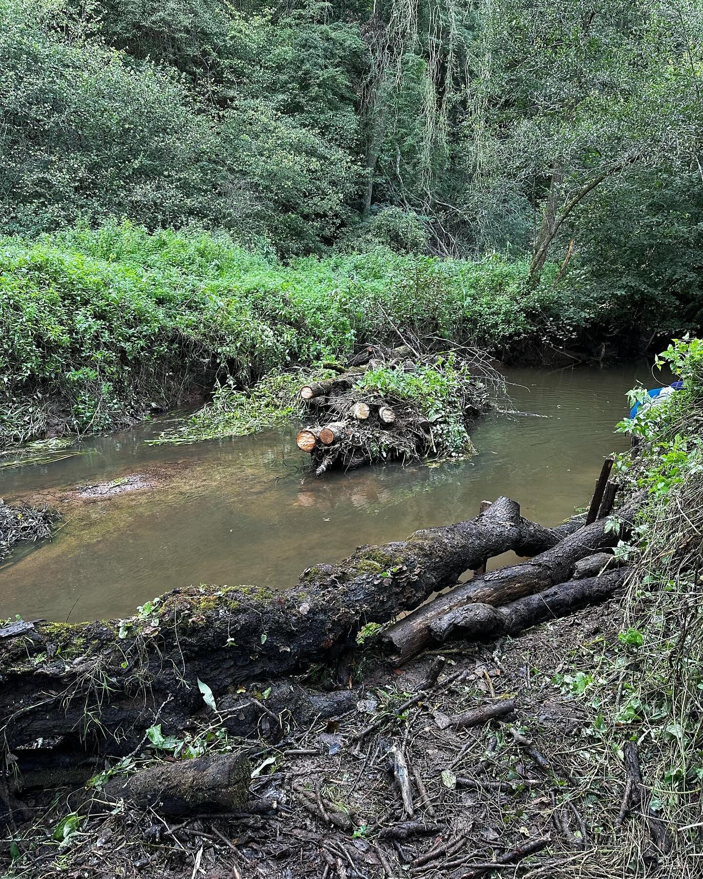
Below I have added a couple of pictures and maps to steer you in the right direction. On your google maps or OS you are looking for Everiss Farm. There is a public footpath that drops down to the river by the stone bridge which marks the upper init of our waters. The river meanders nicely in this area with lots of likely looking swims so its worth a reeky at least.
We advise parking on the grass verge on the left handmade before you get to the farm. This is next to the access point for the footpath as well.

Google maps view of the parking nd footpath access to Upleadon upper limits

OS view of the same

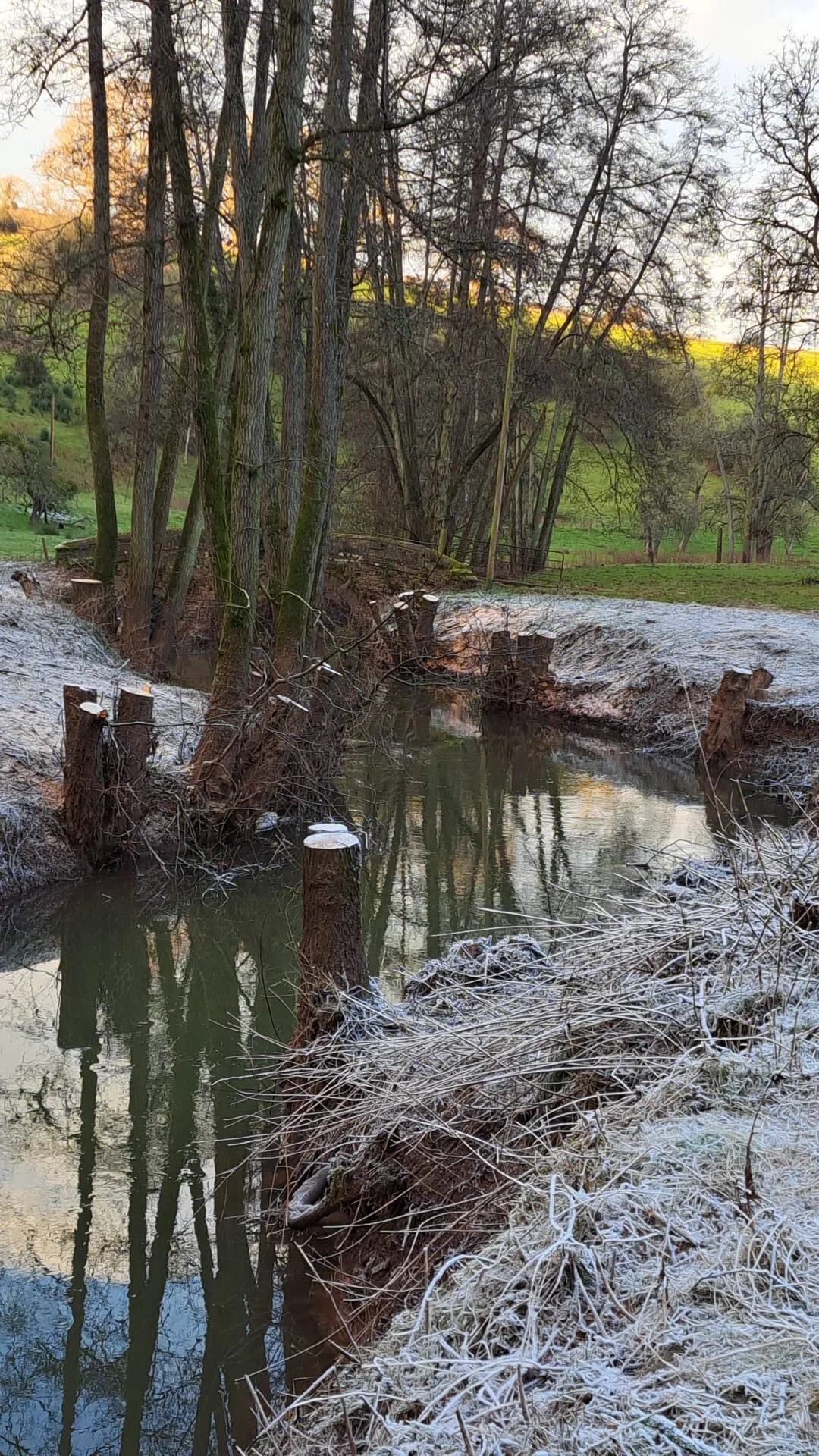
Grass verge at Everiss Farm just beyond the ancient moat

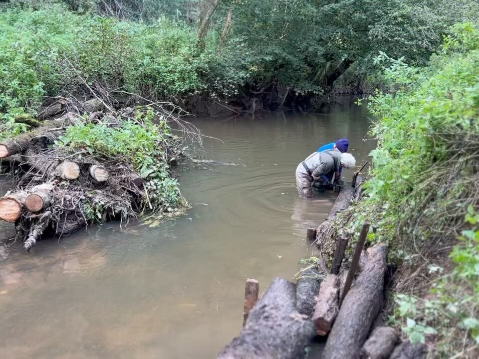
Footpath access to the river adjacent to the grass verge